Description
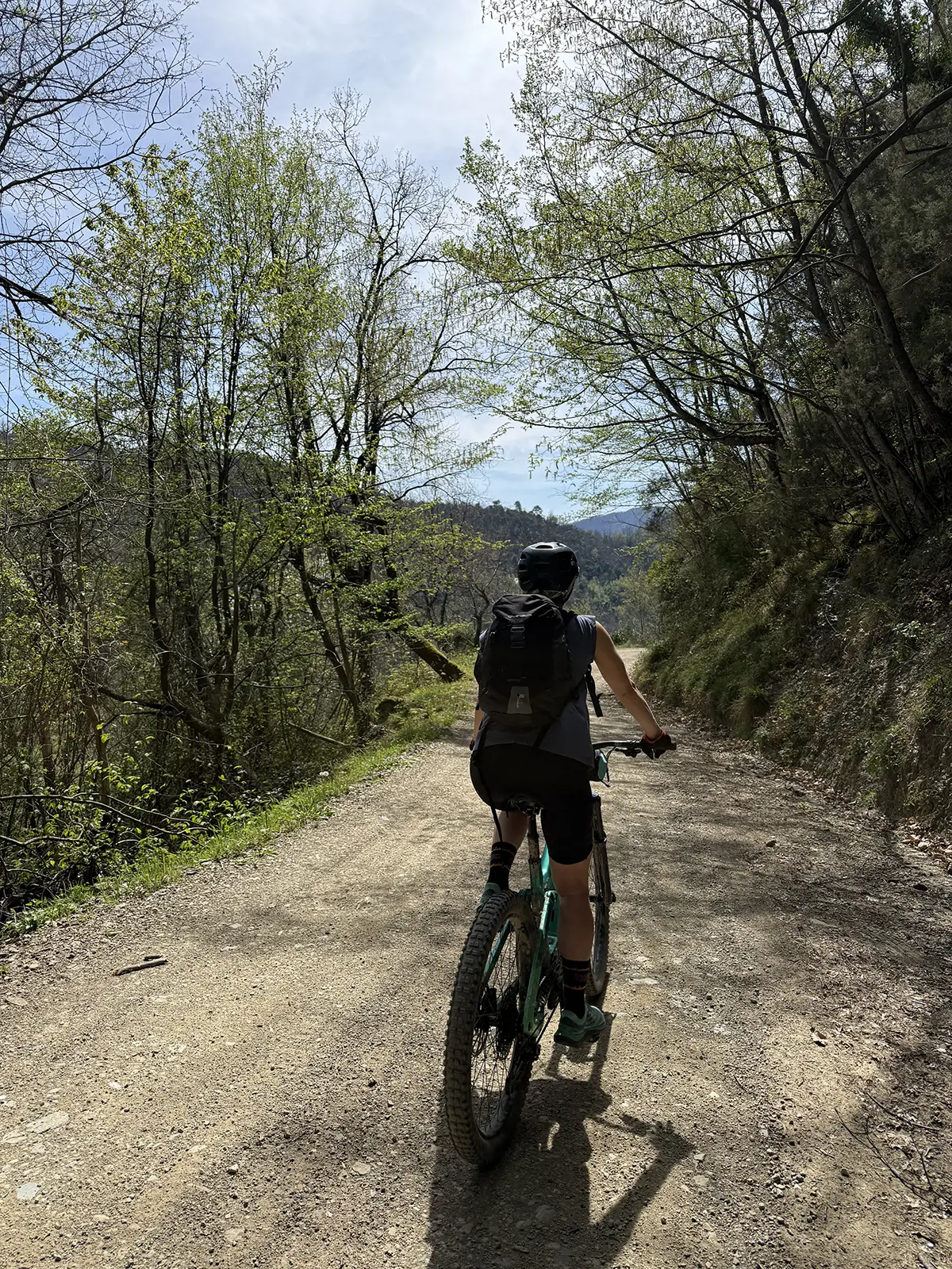
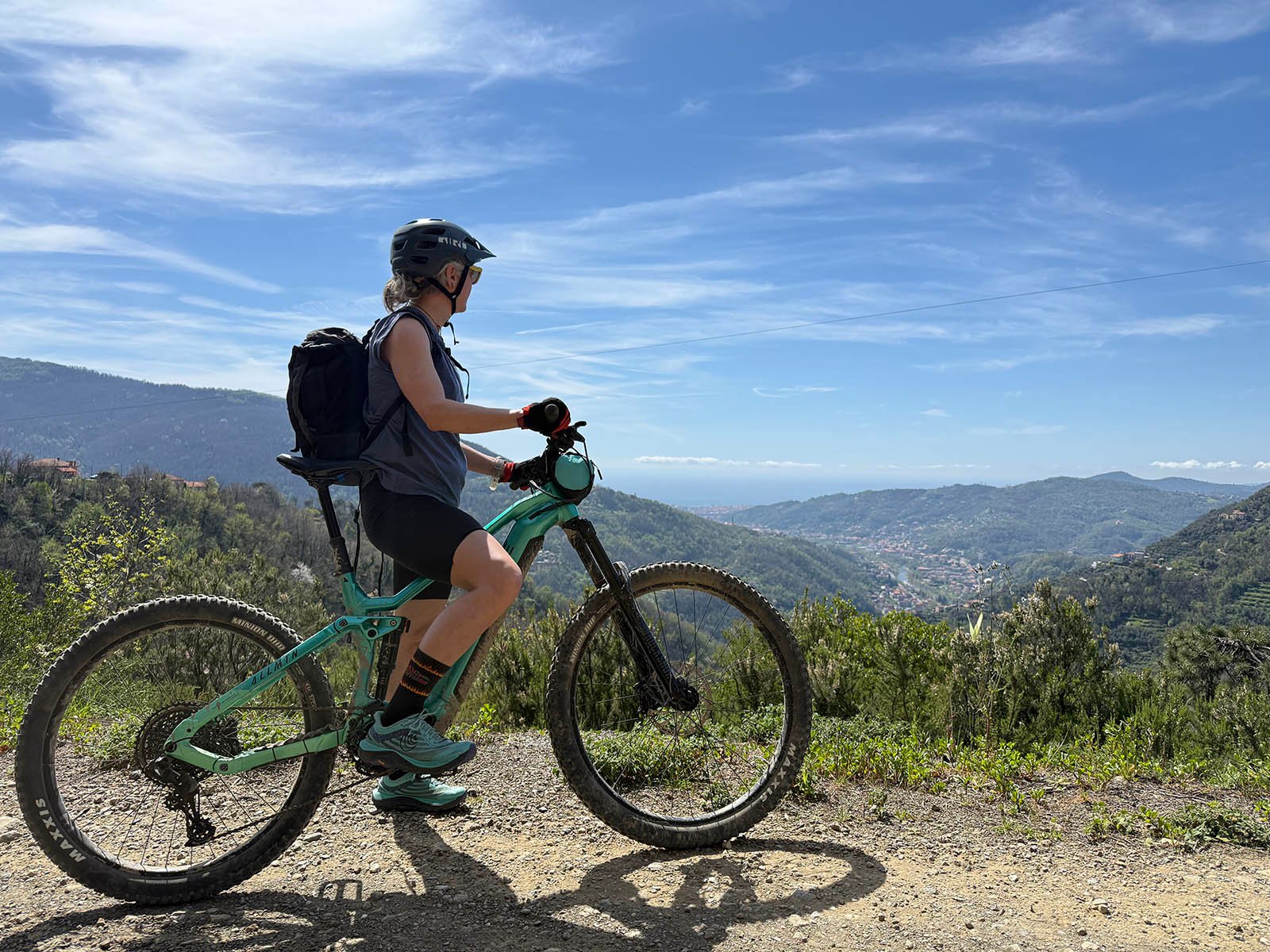
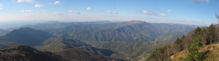
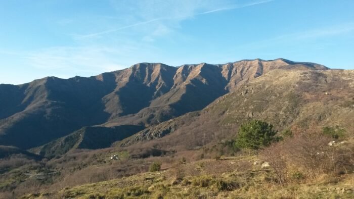
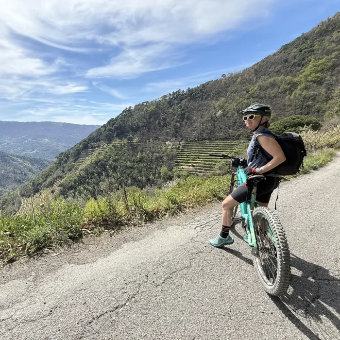
The Anello MTB route from Vignolo (a hamlet of Mezzanego) to Monte Zatta is an experience that immerses you in a surprisingly diverse landscape, ranging from wooded areas to Apennine panoramas, all the way to breathtaking views of the Mediterranean Sea and the Gulf of Tigullio. The route winds along paved and dirt roads, at altitudes ranging from 30 to 700 meters above sea level.
Departure from Vignolo di Mezzanego
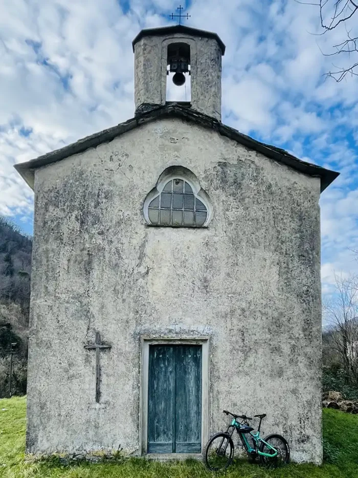
The route begins at the Church of San Michele Arcangelo in Vignolo, a hamlet of Mezzanego, along the western bank of the Sturla stream. From here, a winding asphalt road climbs the steep slopes of Valcarnella.
Detour towards Semovigo
Near the hamlet of Semovigo, leave Provincial Road 37 (which continues toward San Siro Foce, Montemoggio, and the Bocco Pass) to take the secondary road toward Case Zatta. The road surface becomes more uneven until it gives way to a dirt road that enters a typically Apennine landscape.
From Case Zatta to Castagnola
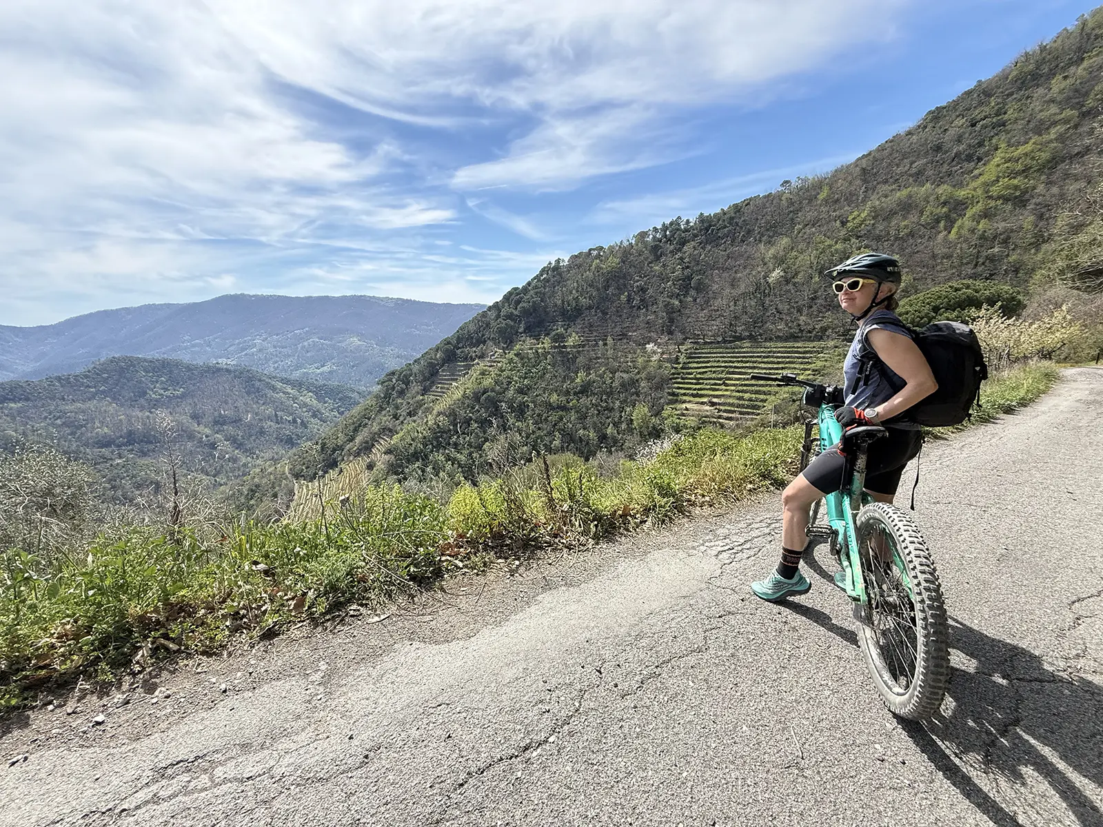
The stretch of road separating Case Zatta from the hamlet of Castagnola in Campo di Ne is characterized by a sudden transition from the Apennine to the Mediterranean environment. Beech and chestnut trees give way to heather, broom, olive trees, and vines, through which you can glimpse the sea in the distance.
From Campo di Ne to Paggi
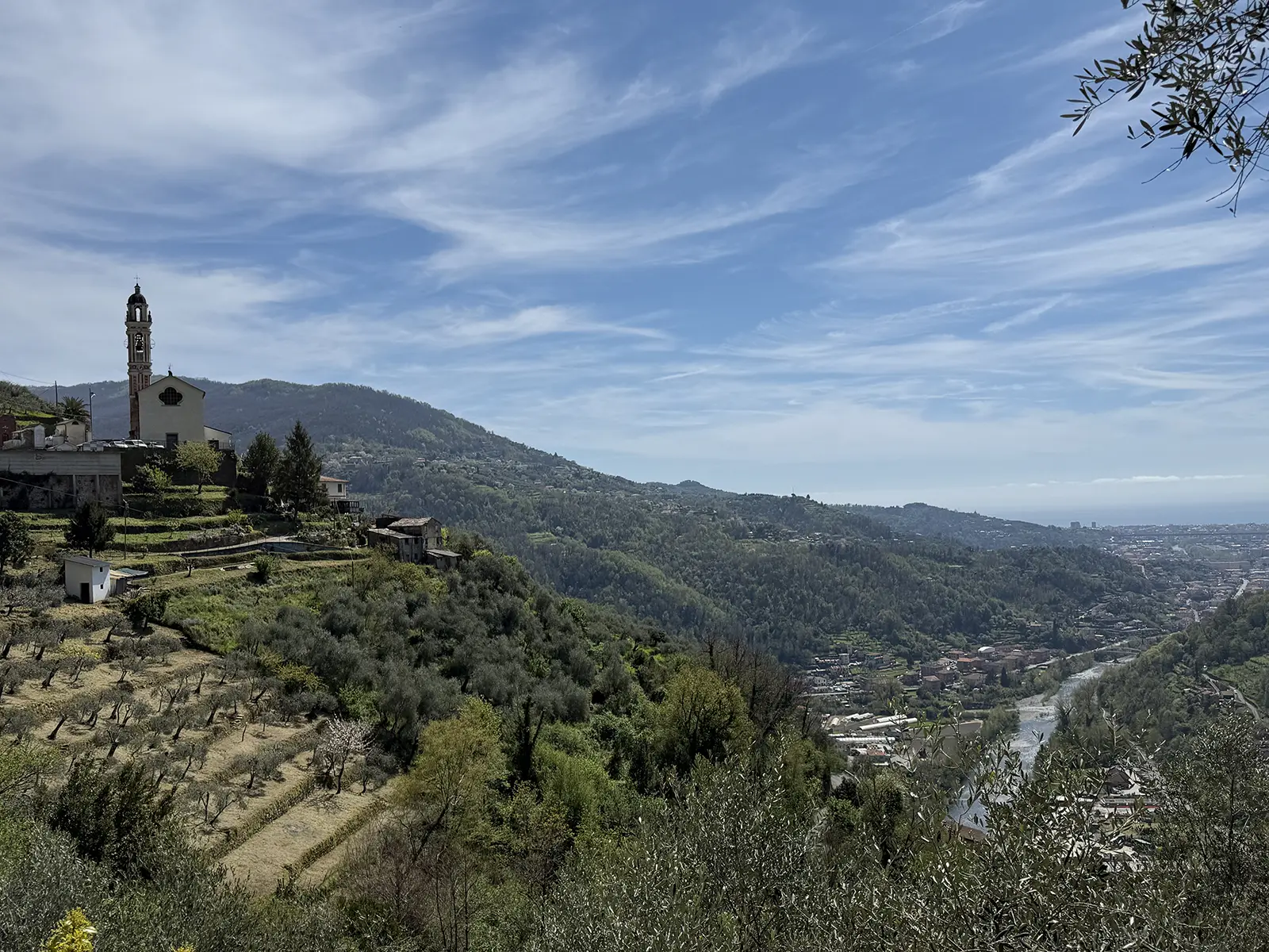
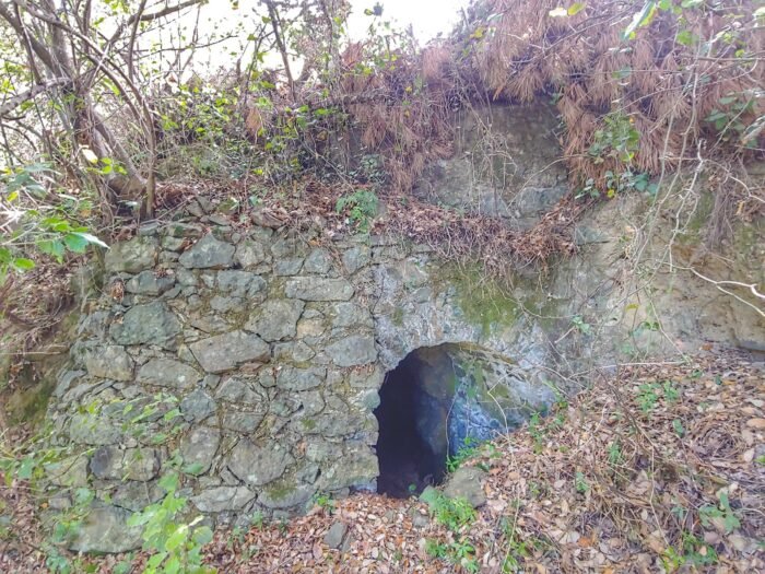
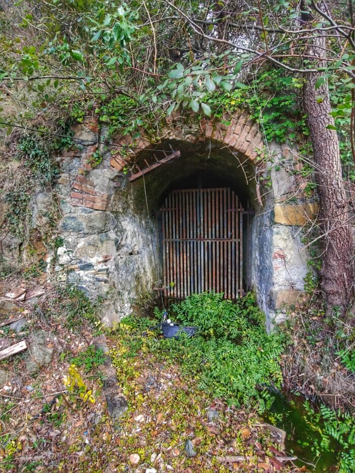
The route follows the southern slope of the Graveglia Valley along a scenic halfway up the hillside, offering spectacular views of the valley floor and the rooftops of the villages perched on the steep slopes. Among these is Campo di Ne, an important mining center. It’s impossible not to marvel at the heroic vineyards: planted on sheer slopes, they are serviced by cableways (strafile) whose cables plunge into the valley’s abyss.
The Sturla Valley Route
Upon reaching Carasco, the route joins the Sturla Valley bike path, which allows you to follow the stream along its western bank. In the hamlet of Terrarossa, the route crosses the stream and briefly joins the SP42, a road that leads from the coast to the Aveto hinterland. At kilometer 8.5, the detour toward Cichero offers the opportunity to return to the less-traveled western bank of the stream, all the way to the end point in the hamlet of Vignolo.
Route Suitability
The Vignolo to Monte Zatta MTB Loop route is suitable for mountain bikes. Due to the challenging gradients, the route is recommended for experienced cyclists in good physical condition.
Beware of Interruptions
It is important to note that interruptions caused by landslides and mudslides are possible along the route.
Practical Tips
- Equipment: Make sure you have a well-maintained mountain bike, have the necessary spare parts, are appropriately dressed for the season, and carry at least 1 liter of drinking water.
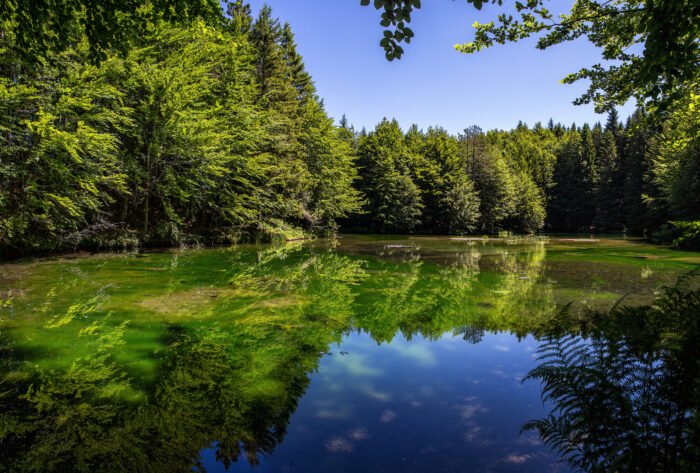
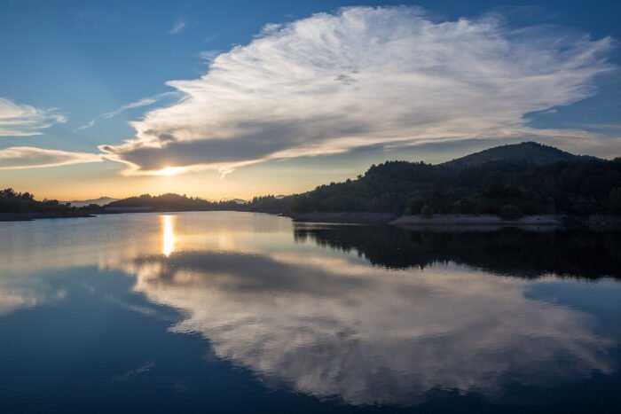
- Time: Plan your route, allowing for breaks, such as a visit to Lake Bargone.
- Safety: Respect road signs and pay attention to trail conditions, especially on rougher sections. Keep in mind that temperatures can fluctuate significantly over a 1,200-meter elevation gain.
The Anello MTB route from Vignolo to Monte Zatta offers a unique opportunity to explore the Ligurian hinterland of the Sturla and Graveglia Valleys, making every ride an adventure for nature and cycling lovers.
Technical info
Signpost: non presente
Time: 5.00 ore circa
Distance: 28 km
Gain: 1.809 m
Difficulty: Media Capacità


Meteo Tigullio
Tigullio
cielo coperto
Mappa


Partners:

Comune di Mezzanego
App
Con la guida interattiva, gratis per il tuo dispositivo iPhone e Android, segui la traccia e accedi al racconto dei luoghi più belli intorno a te.
Heritage that may interest you
Catalog of the tangible and intangible heritage, a precious resource of the Tigullio for community building and local development.


Local experiences that might interest you
Let yourself be guided and be surprised by the hidden treasures that the Ligurian Tigullio area is capable of offering you in every season.

Sport
Hiking routes, climbing, mountain biking and much more… Choose the sport in contact with nature that’s right for you!

Culture
Shows, Theatre, Music, Food and Wine, Reading… Experience the cultural and artistic proposals, immersed in the Ligurian landscape.

Nature
Geology, bird watching, nature engineering and other initiatives, to cultivate awareness and responsibility for environmental issues.
More trekking and cycling routes that may interest you
Itineraries of different durations and suitable for every taste and level of preparation, to discover the most beautiful and evocative places and panoramas of the Ligurian Tigullio.


Join us!
Contribute to preserve the history and traditions of the Ligurian Tigullio area, and keep them alive for future generations.