Description
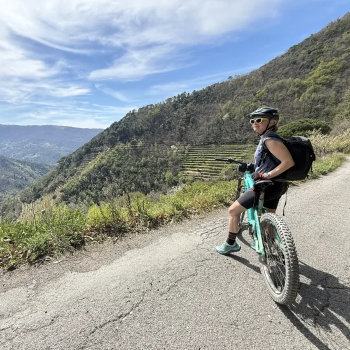
The Anello di Bargone MTB route is an experience that allows you to immerse yourself in an environment with alpine characteristics, with breathtaking views of the Mediterranean Sea in the Gulf of Tigullio. Interspersing wooded areas and areas of geological interest, the itinerary winds through areas of great natural interest, arranged over a difference in level of approximately 1,200m. Here is a detailed guide to the approximately 30 kilometers of the route.
Departure from Santa Vittoria di Libiola
The route begins in the parish of Santa Vittoria di Libiola, a hamlet of Sestri Levante, along the eastern bank of the Gromolo stream. From here begins a challenging asphalt climb that leads to the hamlets of Rovereto and Tassani.
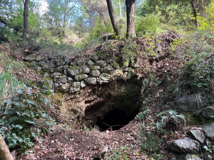
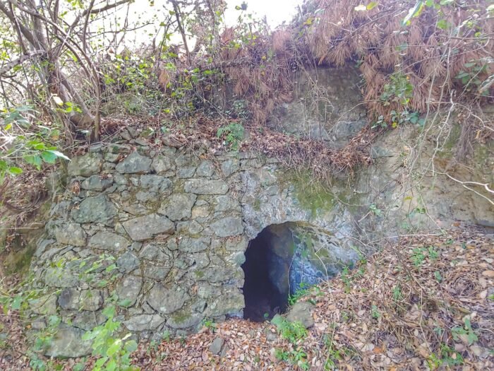
Visit to the former Libiola mine
Near the hamlet of Tassani, after passing the detour where the asphalt gives way to the dirt road, a stop at the archaeological site of the Libiola mines is recommended, a deposit characterized by red hues, known since prehistoric times and exploited since the of Copper.
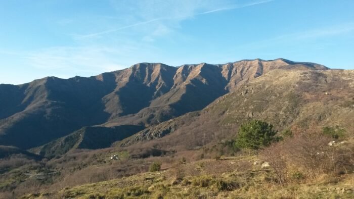
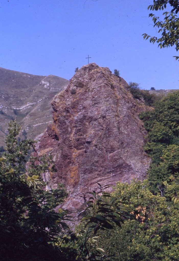
Climb towards Monte Treggin and Roccagrande
After passing the site of mining interest, the route continues along a dirt road that runs along the western side. Initially halfway up the hill, the itinerary – which gradually becomes more and more rugged due to the stony surface – rises sharply towards the summit of the Roccagrande – Treggin massif. A stop at the Agriturismo Le Sorgenti del Gromolo is recommended, where you can enjoy the sweetness of the spring waters.
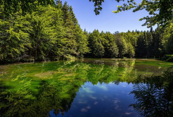
The area with an alpine character
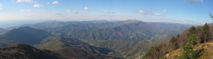
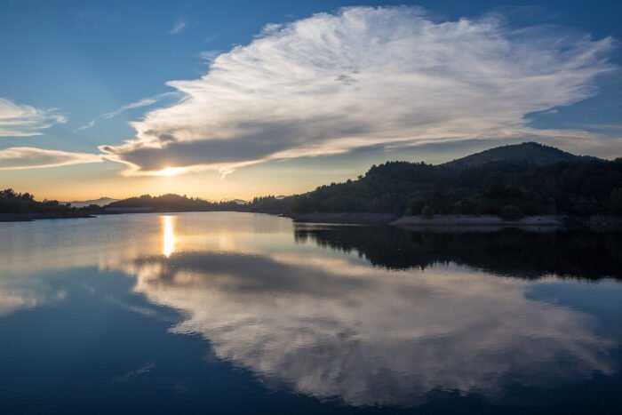
Having reached the altitude of 1,000 meters above sea level, having reached the southern side, it is possible to admire a wonderful panorama which from the valley basin – characterized by coniferous vegetation – extends over the Petronio Valley to the Mediterranean Sea of the Gulf of Sestri Levante. At the foot of Mount Treggin, it is possible to admire the protected area of Lake Bargone, habitat of numerous protected species, including the Apennine frog, the agile frog, the greater green frog, the yellow-bellied toad, the common tree frog , the great crested newt, the alpine newt, dragonflies, aquatic beetles and the collared snake, as well as around 70 species of birds, both sedentary and migratory.
The Bocco di Bargone
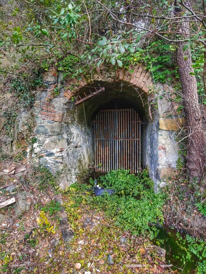
Once you reach the Bocco di Bargone Pass, where you can enjoy a break in the picnic area, your gaze opens onto the Val di Vara and the La Spezia side. From here the route heads downhill on a rather uniform dirt surface. Near the slopes of Mount Zenone, it is possible to make a detour to the east to visit the entrance to the ancient mine, now abandoned.
A dive between chestnut trees and the sea
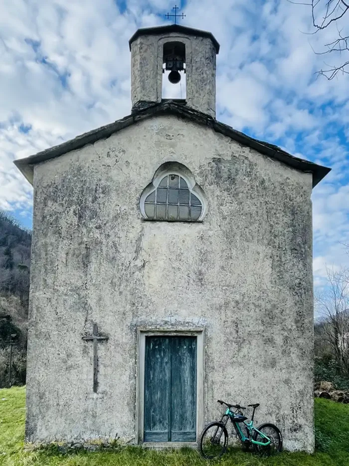
The descent is characterized by spectacular views of the gulf. Entering the chestnut forest, the route alternates a succession of geological conformations of great interest until reaching the characteristic hamlet of Bargone. From here, along a panoramic asphalt road exposed to the panorama of Val Petronio, it is possible to return to the starting point of our itinerary.
Path adaptability
The Anello di Bargone MTB route is suitable for mountain bikes. Due to the challenging slopes and uneven surface, the route is reserved for expert cyclists in good physical shape.
Beware of Interruptions
It is important to take into account that interruptions caused by landslides and mudslides are possible along the route.
Practical Advice
- Equipment: Make sure you are equipped with a mountain bike in good repair, that you have the necessary spare parts, that you are dressed correctly in relation to the season and that you are provided with at least 1 liter of drinking water.
- Time: Plan your route considering the time needed for breaks, such as a visit to Lake Bargone.
- Safety: Respect the road signs and pay attention to the conditions of the route, especially on the rougher sections. Keep in mind that with a difference in altitude of 1,200 metres, the temperature can undergo significant variations.
The Anello di Bargone MTB route represents a unique opportunity to explore the uncontaminated nature and the geological and mining history of Val Petronio, making every ride an adventure for nature and cycling lovers.
Technical info
Sign: not given
Duration: 5.00 hours
Distance: 32 km
Height difference: 1.256 m
Difficulty: Experts


Meteo Tigullio
Tigullio
cielo sereno


Map


Partners:
App
Free for your iPhone and Android device, download the interactive guide to follow the trail and access the story of the most beautiful places around you.
Heritage that may interest you
Catalog of the tangible and intangible heritage, a precious resource of the Tigullio for community building and local development.


Local experiences that might interest you
Let yourself be guided and be surprised by the hidden treasures that the Ligurian Tigullio area is capable of offering you in every season.

Sport
Hiking routes, climbing, mountain biking and much more… Choose the sport in contact with nature that’s right for you!

Culture
Shows, Theatre, Music, Food and Wine, Reading… Experience the cultural and artistic proposals, immersed in the Ligurian landscape.

Nature
Geology, bird watching, nature engineering and other initiatives, to cultivate awareness and responsibility for environmental issues.
More trekking and cycling routes that may interest you
Itineraries of different durations and suitable for every taste and level of preparation, to discover the most beautiful and evocative places and panoramas of the Ligurian Tigullio.


Join us!
Contribute to preserve the history and traditions of the Ligurian Tigullio area, and keep them alive for future generations.